Hiking Trails

Looking for a great trail in and near Palm Springs, California? There is no shortage of ways to explore the diverse natural beauty that is Greater Palm Springs. Some adventure by jeep, others by hot air balloon, and there are those who prefer horseback or bicycle. Some prefer hiking! Greater Palm Springs offers more than 100 trails to choose from. Step by step using your own two feet, hiking allows you to mix fitness with up-close discoveries of the most beautiful areas of the oasis. Find some of our scenic hikes to experience while you're vacationing with Poolside Vacation Rentals.

Andreas Canyon Trailhead

Andreas Canyon Trailhead

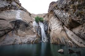
Andreas Canyon is a one mile heavily trafficked loop trail located near Palm Springs, California that features a waterfall and is good for all skill levels - and great for kids!. The trail is located on historic Agua Caliente Band of Cahuilla Indians tribal grounds and counts among one of the most unique in the region. This trail is primarily used for hiking, walking, and bird watching and is best used from September until May.
Location: S Palm Canyon Dr, Palm Springs, CA 92264
Araby Trailhead

Araby Trailhead

Araby Trail is a 4.1 mile heavily trafficked out and back trail located in Palm Springs, California that features beautiful wild flowers and is rated as moderate. The trail offers a number of activity options and is best used from September until April.
Location: Southridge Dr, Palm Springs, CA 92264
Phone: (760) 862-9984
Best trails in Joshua Tree National Park

Best trails in Joshua Tree National Park

Joshua Tree National Park is a vast protected area in southern California. It`s characterized by rugged rock formations and stark desert landscapes. Named for the region`s twisted, bristled Joshua trees, the park straddles the cactus-dotted Colorado Desert and the Mojave Desert, which is higher and cooler. Keys View looks out over the Coachella Valley. Hiking trails weave through the boulders of Hidden Valley. Entering Joshua Tree National Park requires a pass ($20), which is to be paid at the park entrance.
Location: Joshua Tree National Park
Murray Canyon Trail at Indian Canyons

Murray Canyon Trail at Indian Canyons

While vacationing in Palm Springs at a property managed by Poolside Vacation Rentals make a trip to this popular trail in Indian Canyons with a bit of a variation to explore two separate trails in one hike. Murray Canyon Trail located in Palm Springs, California is well known for ending at the Seven Sisters Waterfall. On the way back from enjoying the waterfall, take a right at the Coffman Trail junction. Coffman will loop through the desert floor and go left to head back to Murray Canyon. Take Murray Canyon back north which will lead you back to the Andreas Canyon parking area.
Location: 38520 S. Palm Canyon Dr. Palm Springs
Phone: 760-323-6018
Palm Springs Museum Trail to North Lykken Trail

Palm Springs Museum Trail to North Lykken Trail

Palm Springs Museum Trail to North Lykken Trail is a 3.7 mile out and back trail located near Palm Springs, California that offers the chance to see wildlife and is rated as moderate. The trail is primarily used for hiking.
Location: N Museum Dr, Palm Springs, CA 92262
Phone: (760) 862-9984
Indian Canyons Palm Springs

Indian Canyons Palm Springs

The Indian Canyons, located in Palm Springs, is one of the world`s most premier hiking venues. It is owned by the Agua Caliente Band of Cahuilla Indians.The Indian Canyons are home to Andreas Canyon, Murray Canyon and Palm Canyon, and they are especially sacred to the Tribe today. The Agua Caliente people have thrived here for thousands of years. This is one of Poolside Vacation Rentals favorite hiking trails that provides an abundance of palm trees which will provide you and your group some sun reprieve on those hot summer days.
Location: 38520 S Palm Canyon Dr, Palm Springs, CA 92264
Phone: 760-323-6018
Big Morongo Canton Preserve

Big Morongo Canton Preserve

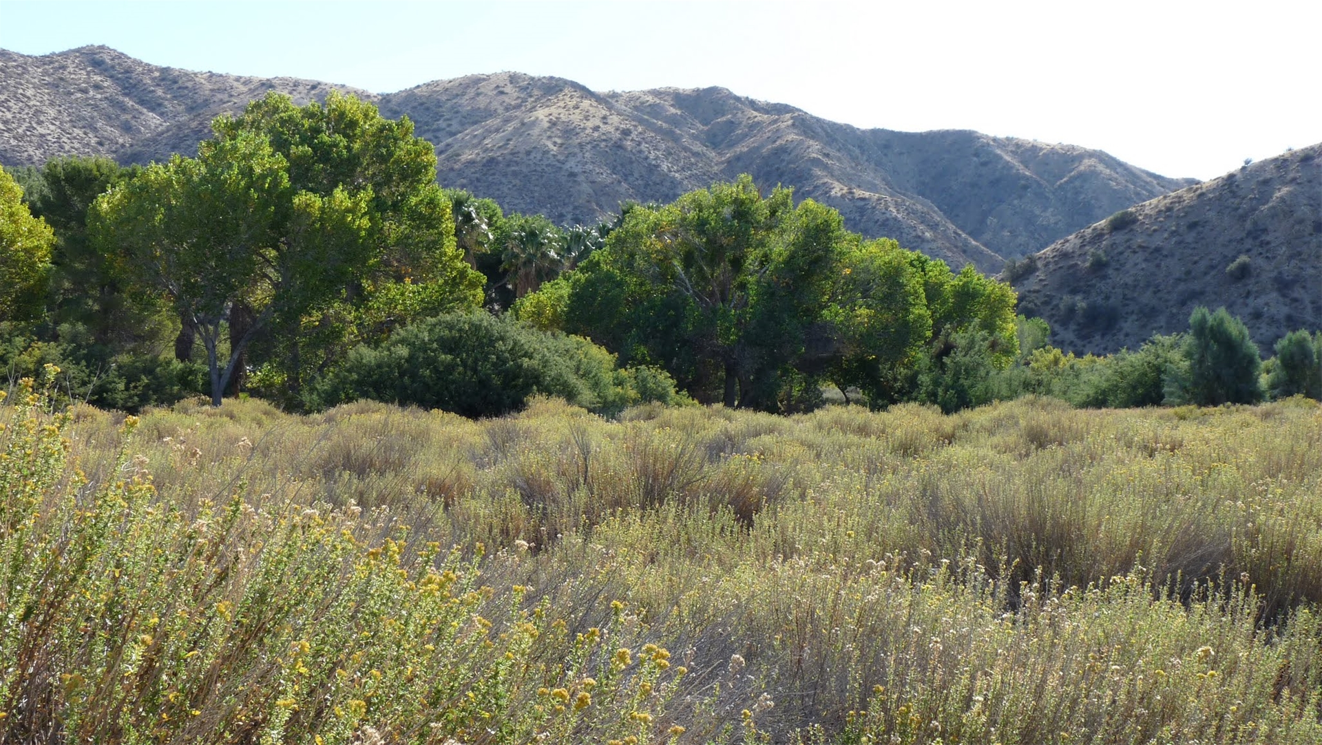
Nestled among the Little San Bernardino Mountains in the Sand to Snow National Monument, the desert oasis at Big Morongo Canyon is one of the 10 largest cottonwood and willow riparian (stream) habitats in California. The upstream end of the canyon lies in the Mojave Desert, while its downstream portion opens into the Colorado Desert. The Morongo fault running through the canyon causes water draining from the surrounding mountains to form Big Morongo Creek and the marsh habitat. At 31,000 acres with elevations ranging from 600 feet on the canyon floor to 3000 feet at the top of the ridge, this diverse landscape has been an important part of the Morongo Basin`s natural and cultural history for almost two billion years. In 1980 the Bureau of Land Management designated BMCP as an Area of Critical Environment Concern in recognition of its special values. The Preserve is managed by the Bureau of Land Management with the assistance of Friends of Big Morongo Canyon Preserve, including 147 acres that are managed under a cooperative agreement with San Bernardino County, to protect rare and endangered wildlife, enhance sensitive riparian zones, promote the growth and restoration of a wide variety of plants, and offer educational opportunities. There are numerous trails to walk and hike, including a wheelchair-accessible boardwalk through the marsh and riparian habitats.
Location: 11055 East Dr, Morongo Valley, CA 92256
Phone: (760) 363-7190
Palm Springs Museum Trail

Palm Springs Museum Trail

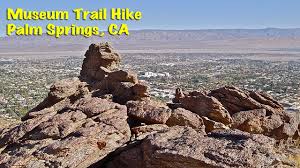
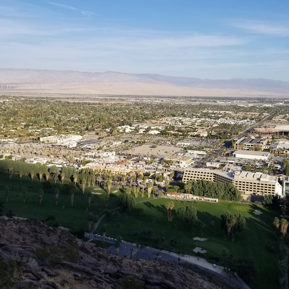
Museum Trail - 0.8 miles, elevation change of 831 feet, strenuous. From Palm Canyon Drive in downtown Palm Springs, turn west on Tahquitz Canyon Way, then north on Museum Drive. The trail begins in the north parking lot of the Palm Springs Art Museum. This is one of the steepest trails in the San Jacinto Mountains.
Location: S Palm Canyon Dr, Palm Springs, CA 92264
Phone: (760) 862-9984
Whitewater Canyon Preserve

Whitewater Canyon Preserve

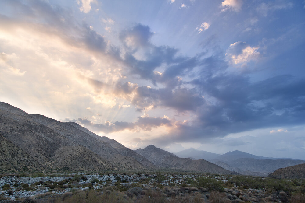
Whitewater Preserve is 2,851 acres surrounded by the Bureau of Land Management`s San Gorgonio Wilderness and includes the year-round Whitewater River. Rich riparian habitat hosts the endangered southwestern willow flycatcher and least Bell`s vireo, and provides opportunity to see migrating summer tanagers and vermilion flycatchers. The canyon has a robust population of bighorn sheep, deer and bear, and is an important wildlife corridor between the San Bernardino and San Jacinto Mountains. The Wildlands Conservancy purchased an additional 3,200 acres in the Whitewater corridor that were donated to the Bureau of Land Management. These donated lands include sand dunes that are home to the endangered fringe-toed lizard at Windy Point, which lies at the confluence of the Whitewater and San Gorgonio Rivers.
Location: 9160 Whitewater Canyon Rd, Whitewater, CA 92282
Phone: (760) 325-7222